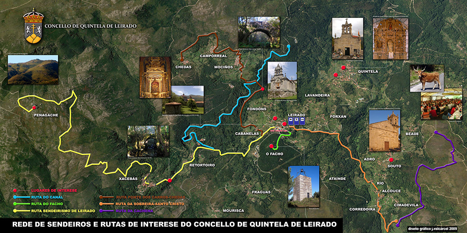
Route Cachena
 TECHNICAL DATA
ROUTE: linear.
DISTANCE: 3Km.
ACCUMULATED ALTITUDE: Not estimated.
DIFFICULTY: Medium.
Se marcan las coordenadas de inicio: 42.153891", -8.088298".
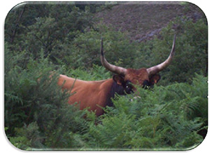
Description: This trail leaves near the core of Beade. It is a completely mountain route in which you can see the typical fauna of the area, the race cachena cattle.
DOWNLOAD

 TECHNICAL DATA


