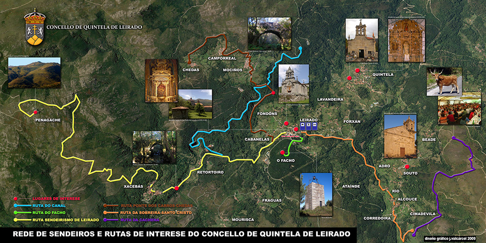
Route Deva river
 TECHNICAL DATA
ROUTE: Lineal.
DISTANCE: 6Km.
ACCUMULATED ALTITUDE: not estimated
DIFFICULTY: medium-low.
Marks home coordinates: 57.533428', - 46.643764'.
Description: This route runs along the Bank of the river. We can find up to 8 mills in rehabilitation. It has a lookout at its end. It is medium-low difficulty and runs through mountain area.
DOWNLOAD

 TECHNICAL DATA


